ArcGIS: Geographic Information Software with Max Payson
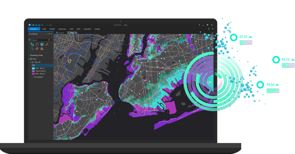

Geospatial analytics tools are used to render visualizations for a vast array of applications. Data sources such as satellites and cellular data can gather location data, and that data can be superimposed over a map. A map-based visualization can allow the end user to make decisions based on what they see.
ArcGIS is one of the most widely used geospatial analytics platforms. It is created by ESRI, the Environmental Systems Research Institute, which was started in 1969. Today, ESRI products have 40% of the global market share of geospatial analytics software.
Max Payson is a solutions engineer at ESRI, and he joins the show to talk about applications of ArcGIS, and the landscape of GIS more broadly.
Sponsorship inquiries: sponsor@softwareengineeringdaily.com
Transcript
Transcript provided by We Edit Podcasts. Software Engineering Daily listeners can go to weeditpodcasts.com/sed to get 20% off the first two months of audio editing and transcription services. Thanks to We Edit Podcasts for partnering with SE Daily. Please click here to view this show’s transcript.